PLAN...Like Your Kids Will Live Here
I've created a series of maps and atlases to help visualize our town.
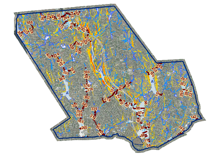
Overview of Trumbull Topology
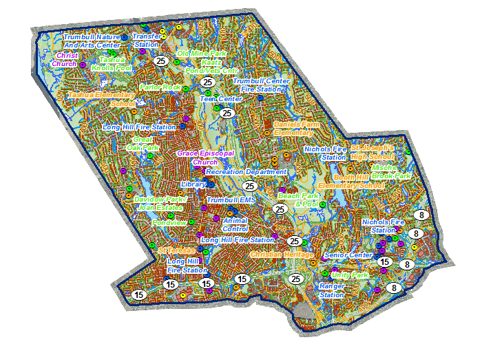
Overview of Trumbull topology including transportation, hydrology,
Points of Interest (POI), and contour lines.
300 DPI
600 DPI
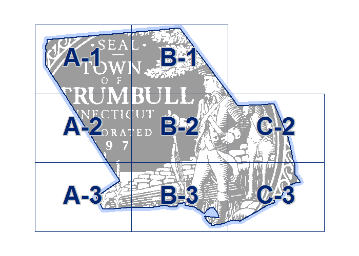
Atlas of Trumbull Topology

Atlas of Trumbull topology split into 8 tiles.
300 DPI
600 DPI
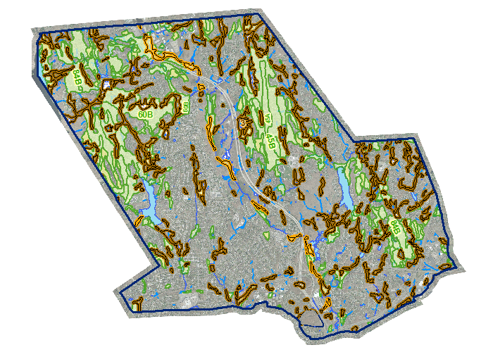
Overview of Trumbull Zoning
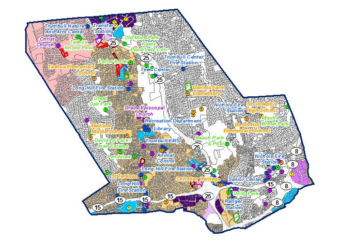
Overview of Trumbull Zoning boundaries and Zoning Overlays based
on parcel boundaries and data from Vision.
300 DPI
600 DPI
Atlas of Trumbull Zoning
Atlas of Trumbull Zoning split into 8 tiles.
300 DPI
600 DPI
Overview of Trumbull Transportation
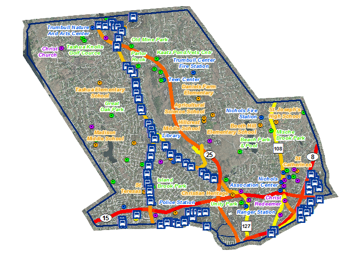
Overview of Trumbull Transportation including Average
Daily Traffic and Greater Bridgeport Transit Bus Routes.
300 DPI
600 DPI
Hydrology, Flood Hazard, and Slope
Overview of Trumbull Hydrology, Flood Hazard, and Slope.
300 DPI
600 DPI
Overview of Pequonnock River
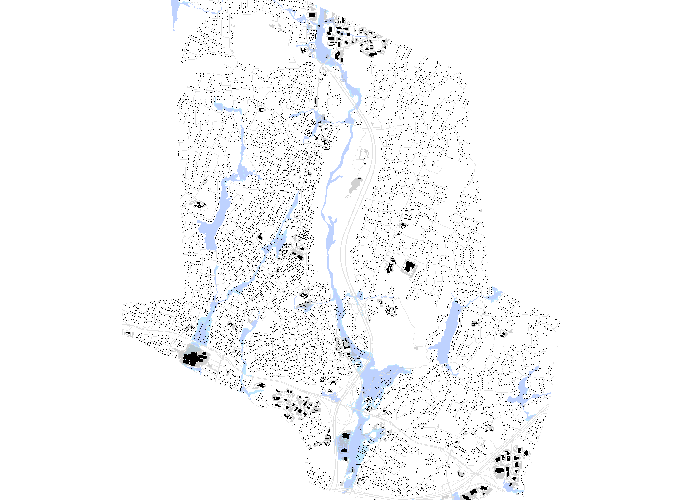
Overview of Pequonnock River flood hazard, roadway infrastructure,
and building footprints with data from FEMA.
300 DPI
600 DPI
Atlas of Pequonnock River
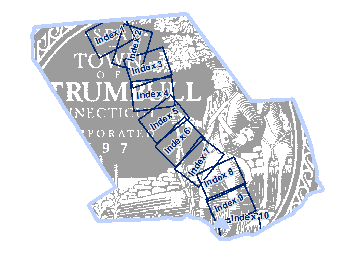
Atlas of Pequonnock River split into 10 tiles.
300 DPI
600 DPI
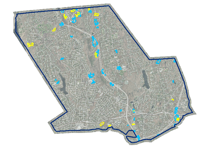
Wetland and Farmland Soils
Overview of Trumbull Wetland and Farmland Soils with data from
USDA.
300 DPI
600 DPI
NOAA Land Cover
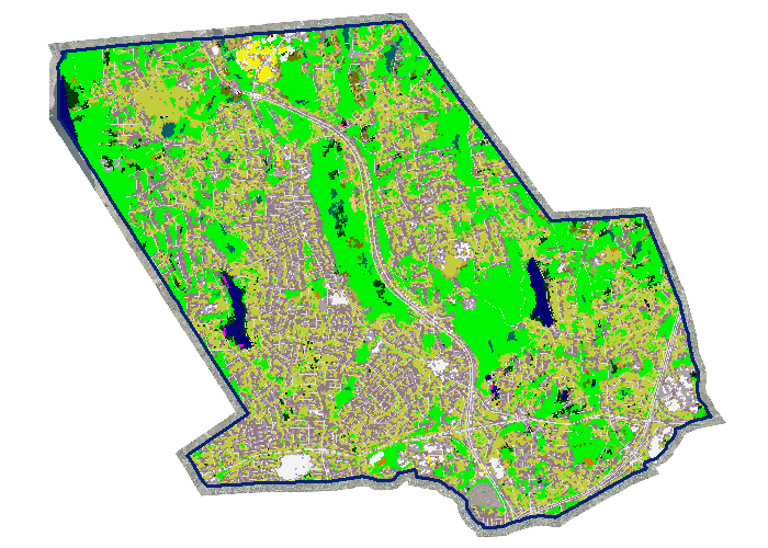
Overview of Land Cover with data from NOAA.
300 DPI
600 DPI
NOAA Land Cover Change
Overview of Land Cover Change with data from NOAA.
300 DPI
600 DPI
US Census Demographics
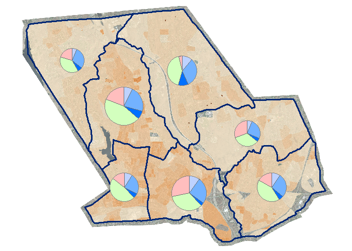
Select metrics from the US Census.
300 DPI
600 DPI
Trumbull GIS
Trumbull GIS is the Town of Trumbull, CT's Geographic Information System
administered by the Engineering and Tax Assessor departments. Through Trumbull
GIS, the town has created a comprehensive, townwide database of geospatial
information to serve the citizens of Trumbull.
Aerial Photography was flown in April 2010, planimetric and elevation features
were extracted during the remainder of 2010, and Tax Parcels were extracted from
existing maps in early 2011.
Public Access Website